
How to combine the regions of the Dominican Republic
How to combine the regions of the Dominican Republic: distances, pace and routes that work
Most visitors see one stretch of the Dominican Republic: the resort coast around Punta Cana. The country is bigger and more varied than that, with a colonial capital, the highest mountains in the Caribbean, a rainforest peninsula, an Atlantic coast and a dry, empty south. Combining them well depends on three things: order, distances and the number of nights in each base.
This guide sets out how we plan multi-region trips as a local DMC that designs and operates them. It is written for independent travellers, travel advisors and tour operators.
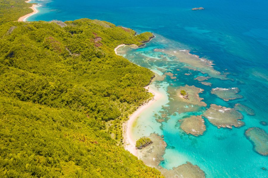
The short answer
- One week: pick two regions, not four. The classic pairing is Santo Domingo (2 nights) and the Samaná Peninsula (3–5 nights).
- Ten days: three or four bases is the limit, with 2–3 nights each. For example: Santo Domingo, the Central Highlands (Jarabacoa), the North Coast and Samaná.
- Two weeks: add the East or the deep South. Don’t try to add both unless you’re happy spending days on the road.
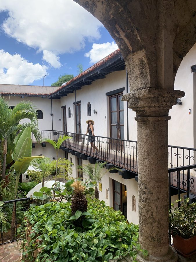
- Start in Santo Domingo. The history there makes everything later in the trip make sense, and it sits next to the main international airport (SDQ).
- Finish in Samaná if you can. It’s where we have developed many of our signature experiences, and you can fly home from SDQ or from Samaná El Catey (AZS).
- The rule we design by: no day carries more than about five hours of road without a meaningful stop. Long legs get broken with a waterfall, a lunch or a town walk.
- Punta Cana to Samaná is not a short transfer. It is roughly 290–325 km by road, approximately 4½–5 hours of driving before any stop (routing estimate). Treat it as a full travel day with a proper stop, or connect the two through Santo Domingo.
Best for a first trip
Santo Domingo (2 nights) and the Samaná Peninsula (3–5 nights).
Travel time
Santo Domingo → Las Terrenas: approximately 2h30–3h. Punta Cana → Samaná: approximately 4½–5 h of driving before any stop.
When to go
November to April for touring circuits. Humpback whales in Samaná Bay January to March only.
Key routing advice
Start in Santo Domingo. Bases of 2–4 nights. No more than about five hours of road a day without a meaningful stop.
The six regions at a glance
| Region | Where you stay | What it’s for | Who it suits | Nights we usually plan | Nearest airport |
|---|---|---|---|---|---|
| Santo Domingo and the colonial south | Colonial Zone, Santo Domingo | The first city of the Americas; neighbourhood life; day trips to Boca de Nigua, the Pomier caves, the Los Cacaos mountains and the Baní dunes | Culture, history and food; anyone who wants to understand the country first | 2–4 | SDQ (30–40 min) |
| Samaná Peninsula | Las Terrenas; Las Galeras; El Valle | Los Haitises by boat, El Limón waterfall, beaches reached on foot or by sea, humpback whales January–March | Nature and walking; couples; small groups; slow travel | 3–7, often split between two bases | AZS (Las Terrenas approx. 40 min) or SDQ |
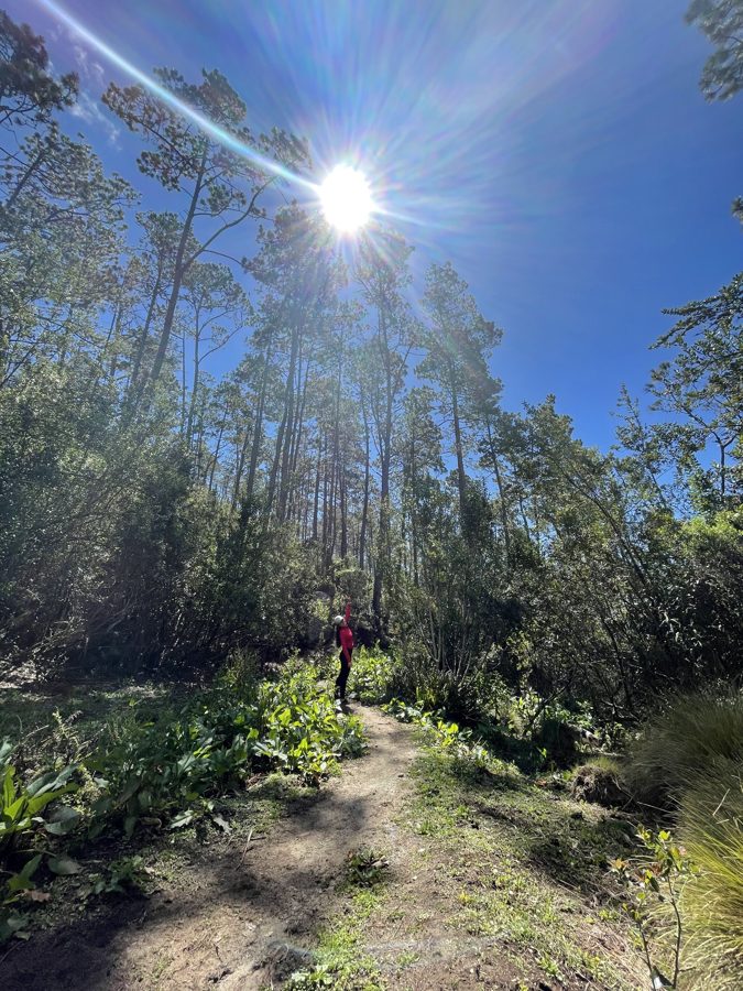
| Central Highlands | Jarabacoa; Constanza; mountain lodges | Pine forest, rivers, coffee cooperatives, rafting, Valle Nuevo, Pico Duarte | Walkers, active groups, anyone tired of heat | 2–3 (Pico Duarte alone needs 3 days) | SDQ or Santiago (STI) |
| North Coast | Puerto Plata; Sosúa; Cabarete | Damajagua waterfalls, cacao farms, caves and cenotes, surf and kitesurf | Active travellers, families, wellness | 2–4 | Puerto Plata (POP) |
| The East | Bayahibe; La Romana; Punta Cana/Bávaro | The quiet side of Isla Saona, Cotubanamá National Park, diving, the countryside behind the resorts; Miches and the eastern side of Los Haitises | Travellers already staying in the east; a short add-on to a beach stay | 3 | PUJ or La Romana |
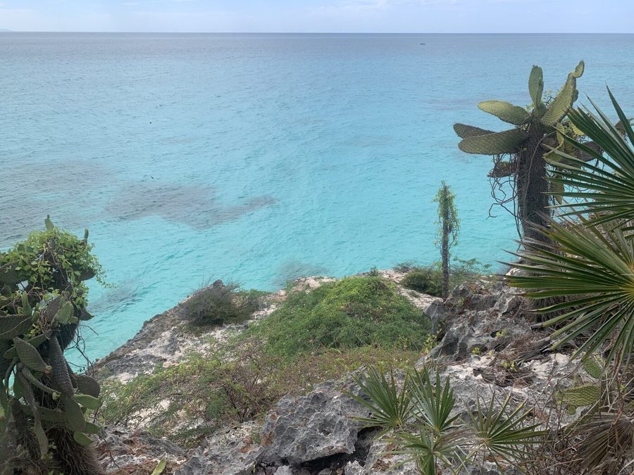
| The deep South | The Barahona coast | Jaragua National Park, Bahía de las Águilas, Lake Enriquillo, the San Rafael river | Remote landscape, photography, experienced travellers | 3–4 | SDQ (Barahona approx. 3 h by road) |
Road distances between the regions
Each leg below has two kinds of number, and we keep them apart on purpose:
- Our operating time comes from the itineraries we have designed and run. Where we have no operating figure for a leg, the cell says so.
- Road distance and minimum driving time are an external estimate from OpenStreetMap routing. They assume free-flowing traffic and no stops. Real journeys take longer, especially leaving Santo Domingo and on mountain roads.
| Leg | Our operating time | Road distance · minimum driving time (OpenStreetMap estimate) | Planning note |
|---|---|---|---|
| SDQ airport → Colonial Zone, Santo Domingo | 30–40 min | 28 km · 25 min | |
| Santo Domingo → Bayahibe | About 1h30–2h | 131 km · 1h50 | On our Saona day from the capital we leave at 07:00 and are back around 18:30 |
| Santo Domingo → Punta Cana / Bávaro | — | 185–200 km · 2h30–2h40 | Approximately 2h30–3h, depending on traffic and route |
| Santo Domingo → Las Terrenas (Samaná) | About 2h30 via the Autopista del Nordeste | 143 km · 2h40 | Allow approximately 2h30–3h. We often break it at Bayaguana (Salto Alto waterfall and a community lunch) |
| Santo Domingo → Las Galeras (Samaná) | 3–3h30 of driving; 09:00 departure, 14:00 arrival with stops | 192 km · 3h35 | A long leg. Plan it as a travel day |
| Samaná El Catey airport (AZS) → Las Terrenas | — | 25 km · 40 min | Approximately 40–50 min |
| Las Terrenas → El Limón | 20–30 min | 16 km · 25 min | |
| Las Terrenas → Samaná town (boats to Los Haitises) | About 1 h | 39 km · 1h05 | |
| Las Terrenas → Las Galeras | — | 65 km · 1h40 | Approximately 1h45–2h. We use it as a move day combined with Los Haitises or a sail |
| Santo Domingo → Jarabacoa | 2h15–2h30 | 148 km · 2h10 | Often broken with a waterfall stop near Bonao |
| Jarabacoa → Constanza | — | 45 km · 50 min | A mountain road: allow well over the minimum |
| Jarabacoa → Santiago | — | 52 km · 50 min | Approximately 1 h. We make it a half-day stop for the murals and the tobacco route |
| Santiago → Puerto Plata | About 1h30 | 74 km · 1h10 | |
| Santiago airport (STI) → Cabarete | About 1h30 | 76 km · 1h10 | |
| Cabarete → Las Terrenas | A full sightseeing day via Río San Juan and the Gri-Grí lagoon | 187 km · 3h20 (direct) | |
| Santo Domingo → Puerto Plata | — | 213 km · 3h | Approximately 3h30 or more. A travel day, or break it in the Highlands |
| Santo Domingo → Barahona | — | 191 km · 2h45 | Approximately 3 h or more, depending on traffic |
| Barahona coast → Bahía de las Águilas | A full day, returning to the Barahona coast | 116 km · 1h50 each way to the Cabo Rojo area | Close to 4 hours of road for the round trip, plus the boat. A very long day |
| Bávaro → Miches | Our Miches day is designed from Bávaro | 88 km · 1h20 | |
| Bayahibe → Las Terrenas | Run as a single private transfer day | 236 km · 4h | A full travel day. Build in a proper stop |
| Punta Cana → Las Terrenas | — | 289 km · 4h35 | Approximately 5 h or more once stops are added, which is over our five-hour comfort limit. Start from Bayahibe or connect via Santo Domingo |
| Punta Cana → Puerto Plata | — | 394 km · 5h25 | Well over our five-hour limit. We avoid it as a single road day |
Five rules we design by
- Bases of 2–4 nights. One-night stops turn a trip into packing and unpacking. Almost every programme we run uses bases of two to four nights.
- No more than about five hours of road in a day without a meaningful stop. On a long leg we add a waterfall, a farm, a lunch or a town walk, so the day becomes part of the trip.
- The airport has to match the route. Land at SDQ if you start in Santo Domingo. For Samaná, El Catey (AZS) is closer, but SDQ usually has more flights. For the North Coast, use Puerto Plata (POP). Flying in and out of different airports can save a long drive.
- History first, nature after. The capital gives context to everything else: Taíno, colonial, Afro-Dominican. Starting there makes the rest of the trip richer.
- Keep a buffer for the sea. Boat days (Los Haitises, Saona, Playa Ermitaño, Frontón) depend on conditions. We keep a flexible day and have a land alternative ready.
Routes that work
These routings come from our own programmes and sample itineraries. Every trip we run is built around the traveller’s dates, group and pace, so read these as starting points, not packages.
1. Colonial city and Samaná: 8 days / 7 nights
Santo Domingo 2 · Las Terrenas 3 · Las Galeras 2.
- The transfer to Samaná stops at the Salto Alto waterfall near Bayaguana for a community lunch.
- Los Haitises comes on the move day between Las Terrenas and Las Galeras.
- Fly home from SDQ.
- Good for: a first trip beyond the resorts, small groups, couples.
2. Four landscapes: 10 days / 9 nights
Santo Domingo 3 · Jarabacoa 2 · Cabarete 2 · Las Terrenas 2.
- Santo Domingo includes a day on the quiet side of Saona.
- From the capital to the mountains via the Bonao waterfalls.
- To the coast via Santiago.
- To Samaná along the Atlantic via Río San Juan.
- Fly home from SDQ or AZS.
- Good for: travellers who want variety at a moderate pace.
3. Community and impact: 9 days / 8 nights
Santo Domingo 4 · Baní 2 · Las Terrenas 2.
- The capital gets four nights on purpose: neighbourhood life, the sugar-mill heritage of the south, and coffee in the Los Cacaos mountains.
- From there to the dunes and salt flats of Baní, then to Samaná for El Limón at dawn with the community.
- Extends to 11–12 days with the North Coast.
4. A short module from the east: 5 days / 4 nights
Bayahibe 3 · Santo Domingo 1.
- Arrive at Punta Cana, see the quiet side of Saona and Cotubanamá, then cross to the capital via San Pedro de Macorís.
- Fly out of SDQ.
- Designed to slot into a wider Caribbean trip or follow a beach stay.
5. Mountains then beach
Arrive at Puerto Plata (POP) · Jarabacoa 2 · a Santiago stop for murals and cacao · back to the North Coast for the beach.
- Good for: families and anyone who wants active days first and rest at the end.
6. Slow Samaná: 11 days / 10 nights
Santo Domingo 2 · Las Terrenas 3 · El Valle 2 · Las Galeras 3.
- Three bases on one peninsula, linked by short drives and a private sail on the bay.
- Good for: honeymoons and slow travel.
Which region for which traveller
- First time, one week, culture and nature: Santo Domingo and Samaná.
- Walkers and active groups: the Central Highlands. In Samaná, the coastal walks (5–12 km stages) and the hidden beaches of Las Galeras.
- Families: the North Coast, where Puerto Plata, Sosúa and Cabarete reach almost everything in the same day, then Samaná.
- Damajagua has age limits: 8+ for the first seven waterfalls, 12+ for the full route.
- Couples and slow travel: Samaná with two or three bases, perhaps after two nights in the capital.
- Already booked in Punta Cana: add the East’s quiet side (Saona, Cotubanamá) or a Santo Domingo extension. Samaná works too, as a separate stay rather than a day trip.
- Remote landscapes and photography: the deep South. Distances are longer and infrastructure is more limited, so it needs careful design and at least three nights.
- Wellness: Samaná (Las Galeras) or the North Coast and mountains, with eco-lodges.
When to go
- November to April is the best season for touring circuits. We operate all year.
- Humpback whales are in Samaná Bay January to March, and only then.
- Christmas, New Year and Holy Week are the peak periods. Holy Week 2027 runs 21–28 March.
- Hotels need a deposit or a hold well in advance.
- Holy Week is not the week for a touring circuit.
- The Atlantic hurricane season officially runs 1 June to 30 November (US National Hurricane Center). Boat days always depend on sea conditions.
- The mountains are cool, not tropical. Constanza is one of the coldest towns in the country. Pico Duarte can drop below zero at night and is a three-day expedition, not an afternoon.
- Cabarete: the sea is flat in the morning, which is when to learn surfing or paddle. The trade wind arrives around midday.
- Sun, rain and humidity can all happen on the same day. Pack a light raincoat.
Practical notes
- Transfers: ours are private, per vehicle, with driver, fuel and tolls included, usually by van.
- Driving yourself:
- Drive by day. Avoid rural roads after dark.
- Keep the tank full on long legs.
- Carry Dominican pesos for tolls.
- Money and connectivity: always carry some cash in pesos. A local SIM card at the airport is the simplest option.
- Entry: every traveller completes the free e-ticket entry form before arrival.
For travel advisors and tour operators
We design and operate these programmes as a local DMC, at net B2B rates. One point of contact runs the trip from the first idea to the last transfer. Send us the outline: dates, group size and the kind of trip. A rough idea is enough to start. We reply within one working day with a clear next step.
Frequently asked questions
How many days do I need to see more than Punta Cana?
Seven days covers two regions properly: Santo Domingo and Samaná. Ten days covers three or four. With fewer than five days, choose one region beyond the resorts and go deep.
Can I do Samaná as a day trip from Punta Cana?
It’s possible but we don’t recommend it. Las Terrenas is roughly 290 km from Punta Cana by road, approximately 4½ hours each way before any stop (routing estimate). Samaná deserves at least three nights.
Which airport should I fly into?
- SDQ (Santo Domingo) is the most flexible for multi-region trips.
- AZS (El Catey) is closest to Samaná.
- POP (Puerto Plata) serves the North Coast.
- PUJ (Punta Cana) serves the East.
Flying into one and out of another often saves a long drive.
Is it better to self-drive or use transfers?
Self-driving is possible on the main highways in daylight. With private transfers, a long leg becomes part of the trip: a stop at a waterfall, lunch with a family, a town walk. They also mean you avoid driving unfamiliar roads after dark.
Where do the whales fit in?
Only January to March, in Samaná Bay or off Las Galeras. Base yourself in Samaná for at least three nights in that window.
Sources: our operating times, routes and nights come from the itineraries and operating documents Tourimpact uses. Road distances and minimum driving times are external estimates from OpenStreetMap routing (OSRM, October 2026), not our operational data. The hurricane season dates come from the US National Hurricane Center. Times change with roadworks, traffic and weather. We review this guide every season.